


Mention Wigan to anyone who has never been there and many will immediately think of Wigan Pier – the butt of many a music-hall joke thanks to George Formby Senior, but later to be immortalised in George Orwell’s 1937 book The Road to Wigan Pier.
The pier itself - or at least a reconstruction of it - is still there on the side of the Leeds & Liverpool Canal. It is little more than a coal-loading ‘staithe’, originally a wooden ‘tippler’, where wagons from a nearby colliery were unloaded into waiting barges.
But did you know that this late-18th-century canal, which descends more than 200 feet through its famous flight of consecutive locks into the centre of Wigan, is sitting on top of an older, half-hidden river navigation story?
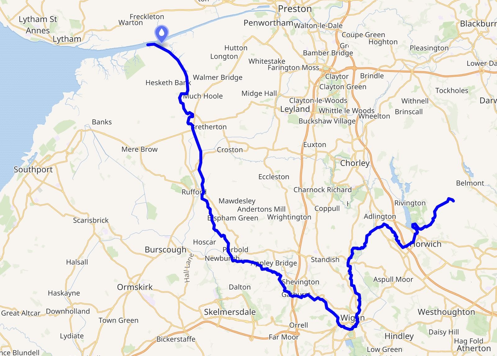
From its source on the slopes of Winter Hill in the West Pennine Moors where three boroughs of Chorley, Blackburn with Darwen and Bolton meet, the River Douglas takes a circuitous 35-mile U-shaped route south-west through Horwich and Wigan before heading north to join the Ribble Estuary near Tarleton.
The story of the Douglas is typical of so many of our rivers: today’s river is very different from the one our ancestors knew. They not only named it, but used it for transport, for food, for drinking water, as a rubbish tip and a place of recreation. Rivers were seen as a resource to be harnessed, diverted, used and abused at will.